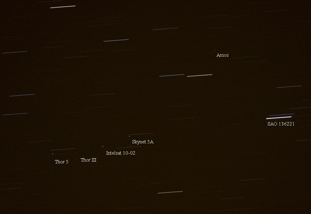
2009 February 21 22:43 hrs, the cluster around 1° west.
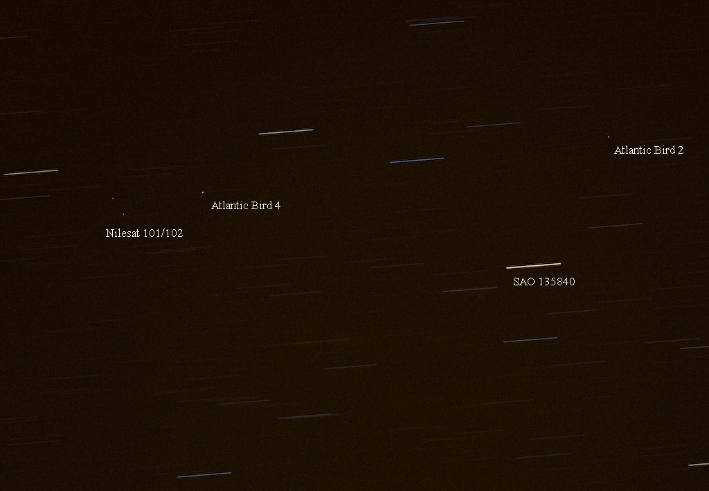
2009 February 21 22:49 hrs, slightly further west at 9° west.
Geostationary satellites may seen with a moderate sized telescope if one knows where to look. From the southern part of the UK, they appear in an arc across the sky at a declination of around 7.5 degrees south of the equator. Here are two recent images I have taken using my Canon 40D DSLR attached to a Borg 101-ED. Exposure times are 30 seconds each with the drive switched off. Orbital elements for geostationary satellites (and LEOs as well) are available from Celestrak. I use the old (DOS!), but effective, Highfly software by Mike McCants to generate the predictions. Highfly is available from http://www.io.com/~mmccants/programs/highfl23.zip.
 2009 February 21 22:43 hrs, the cluster around 1° west. |
 2009 February 21 22:49 hrs, slightly further west at 9° west. |
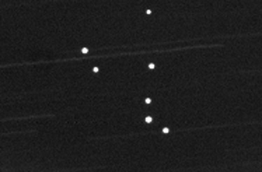
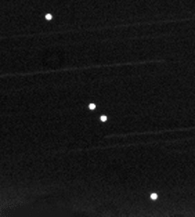
Back in 2000, the biggest 'constellation' was probably the Astra (analogue) direct broadcast television satellites at 19.2 degrees east.
 |
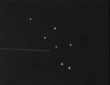 |
| This image shows how they appeared at 22:00hrs on 2000 January 21. It was taken with a 30 second integration using my Cookbook CB245 CCD camera attached to a Meade 10 inch LX200 telescope with f/6.3 focal reducer. The telescope drive was switched off, so the stars show as trails, whilst the satellites remain stationary. | On 2001 March 30, this time using a Starlight Express MX916 CCD camera and the Meade. |
| A short distance away is the 'Hotbird' constellation at 13 degrees east. | |
 |
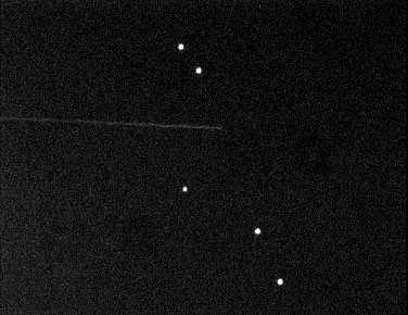 |
| 2000 January 21 | 2001 March 30 |
Graham
Boots of Worthing
Astronomical Society has taken some photographs of
geostationary satellites using a 35mm camera. One of his
images may be seen here. |
|